Programs
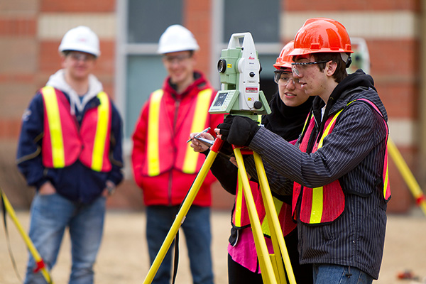
Geomatics Engineering Technology
![]() Diploma
Diploma ![]() International applicants accepted
International applicants accepted
Study land surveying, remote sensing, cartography, geographic information systems (GIS), global navigation satellite systems (GPS), photogrammetry, geography and digital mapping.
Geomatics Engineering Technology
Bachelor of Applied Technology Geographic Information Systems
![]() Degree
Degree ![]() International applicants accepted
International applicants accepted
Study to be a geographic systems (GIS) technologist, technician or analyst for various industries, from forestry and natural resource exploration to government. Prior education and experience is required.
Bachelor of Applied Technology Geographic Information Systems
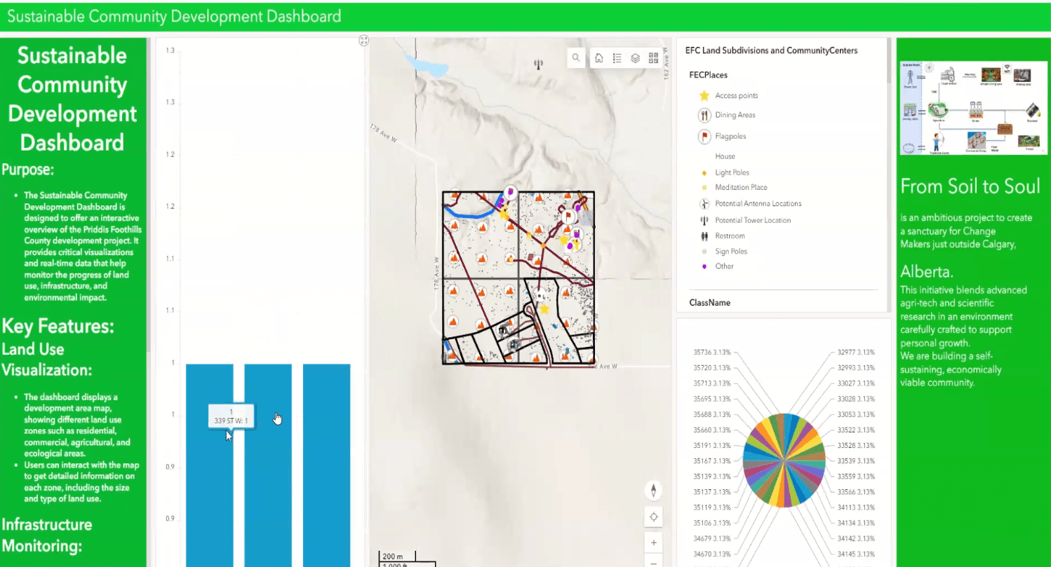
Leveraging tech for social good
Blending agri-tech and scientific research, a group of SAIT GIS students examined Priddis Foothills County with a mind to develop a self-sustaining, economically viable community.
Read more about their sustainable community development dashboard
Contact us
School of Construction
CB410, Aldred Centre, SAIT Main Campus
-
Phone - 403.284.8367
-
Phone - 403.210.4271 (fax)
Construction

Oki, Âba wathtech, Danit'ada, Tawnshi, Hello.
SAIT is located on the traditional territories of the Niitsitapi (Blackfoot) and the people of Treaty 7 which includes the Siksika, the Piikani, the Kainai, the Tsuut’ina and the Îyârhe Nakoda of Bearspaw, Chiniki and Goodstoney.
We are situated in an area the Blackfoot tribes traditionally called Moh’kinsstis, where the Bow River meets the Elbow River. We now call it the city of Calgary, which is also home to the Métis Nation of Alberta.