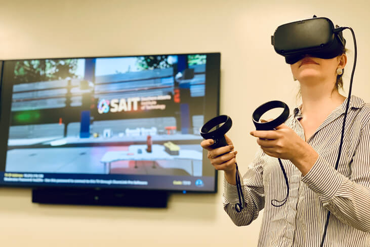
Virtual reality brings water management training to life

Hear the words “virtual reality” and you might think video games, like Pokémon GO or Beat Saber. At SAIT, virtual reality is a tool for learning, it’s used to expand knowledge, dial up comprehension and boost confidence.
Using virtual reality, students in SAIT’s Integrated Water Management program take virtual tours, practice critical skills, such as measuring the velocity of a river, or dive into complex data analysis using Oculus Quest headsets.
“We want to prepare our students for what’s next, and familiarize them with tools that are at the forefront of technology,” says Pablo Pina, Academic Chair of SAIT’s water sustainability programs. “Not only will they be prepared to enter into rewarding careers responding to local and global water concerns, they’ll also be equipped with digital literacy skills that are either on par or ahead of current industry standards.”
Get a glimpse inside the goggles and see how SAIT’s Integrated Water Management program features virtual reality as part of the learning process.
Stream measurement simulation
Practicing with a virtual survey rod, transect and sensor, students can measure the volume and velocity of flowing water without ever getting wet. After collecting their "Field” data, they develop a profile of the riverbank or stream — a common skill for water technicians when performing field work. This data is then used for assessments, monitoring and modeling purposes.
Big data visualization
Immersed within large and complex data sets, students gain an understanding of how to manage, report and visualize information using the Virtualitics platform.
The Innovation and Disruption in Water Systems course teaches students how to be intelligent users of tools that are becoming increasingly common in industry in the sphere of data management.
Virtual lectures
Students in the program create their own avatar and participate in a virtual classroom together. In this example, SAIT instructor Cameron Johnston shares a 3D model of Fallentimber Creek. Sharing onsite videos, aerial imagery and a 3D model provides additional context and builds the story of what is happening at a particular site — making it easier for students to jump in to similar scenarios when practicing their skills out in the field.
Make your next career move an “actual reality”
Learn to manage and protect Earth’s most valuable resource with a SAIT program in Integrated Water Management or Water and Wastewater Treatment Operations.
New World. New Thinking.
Learn more about our new course for the future #hereatsait
SAIT'S
2020-2025
Strategic plan
Skills for the Future
Learn more about our new course for the future #hereatsait
SAIT'S
2020-2025
Strategic plan

Oki, Âba wathtech, Danit'ada, Tawnshi, Hello.
SAIT is located on the traditional territories of the Niitsitapi (Blackfoot) and the people of Treaty 7 which includes the Siksika, the Piikani, the Kainai, the Tsuut’ina and the Îyârhe Nakoda of Bearspaw, Chiniki and Goodstoney.
We are situated in an area the Blackfoot tribes traditionally called Moh’kinsstis, where the Bow River meets the Elbow River. We now call it the city of Calgary, which is also home to the Métis Nation of Alberta.